
Ocracoke Tide Chart, Tide Times & Tide Schedule
Today’s tide table and tide schedule for Ocracoke Island, NC (NOAA Station 8654769). The chart below is Silver Lake Harbor on the sound side — right for the village, the docks and the ferry. The ocean beach and Ocracoke Inlet run a much larger tide and have their own chart.

The ocean beach and the inlet run a different tide
The chart above is Silver Lake Harbor, on the sound side of the village. That is the right chart for the docks, the ferry basin and the village waterfront — but it is not the tide the Atlantic beach is running. NOAA’s published mean range at the harbor gauge is 0.81 ft, under ten inches.
For the ocean side NOAA publishes a separate prediction point that hardly anybody uses: station TEC2793, “Ocracoke Inlet”, down at South Point where the island runs out into the inlet. It is a subordinate station, given as an offset from the Cape Hatteras Fishing Pier — +9 minutes at high water and +11 at low, with height ratios of 0.63 and 0.83 — and it works out to a mean range of about 1.9 ft, roughly 23 inches. More than twice the harbor.
If you are walking the beach, surf fishing or driving the sand, this is the chart to use.
About tides at Ocracoke Island
Ocracoke is the southernmost developed island in the OBX system, accessible only by ferry. The Silver Lake gauge inside the protected harbor shows a smaller tide range than the open ocean beach (~1.0 ft vs. ~3 ft on the ocean beach), and high tide on the soundside lags ocean-side high by an hour or more.
Best tides for fishing
Surf fishing the ocean beach? Work from the Ocracoke Inlet chart, not the harbor one above.
Ocracoke beach is one of the quieter surf fishing destinations on the OBX – long stretches of open beach with very few people. Drum, blues, and Spanish all fish on the same incoming/outgoing windows that work elsewhere. Pair the chart above with the bait reports and rig diagrams at OuterBanksSurfFishing.com, and see our dedicated guide to best tides for surf fishing the OBX.
Beach driving and tides
Timing a run down the beach is an ocean-tide question — use the Ocracoke Inlet chart.
Ocracoke has several beach driving ramps along NC-12 (Ramps 59, 67, 68, 70, 72). The south end of the island near the inlet routinely gets cut off by tide and overwash – never drive there without a clear plan to return well before high tide. For permits, ramp status, and current zone updates, see our beach driving and tides guide and the up-to-date zone guides at OuterBanksBeachDriving.com.
Taking the ferry to Ocracoke with a rental? The Cape Hatteras ORV permit covers Ocracoke beaches, and Beach4x4 includes it with every rental — Jeeps and 4WD SUVs by the week out of Kill Devil Hills.
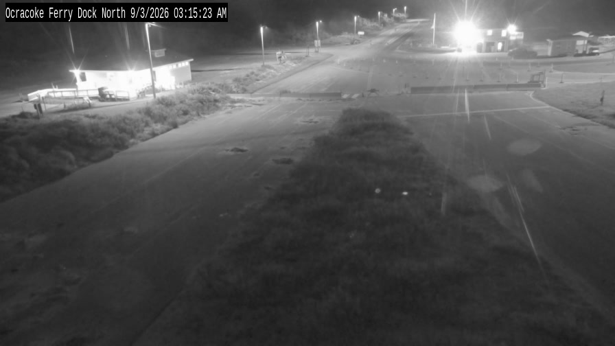
Ocracoke cameras

What affects tides here
Tide height and timing on the Outer Banks is driven by:
- Lunar and solar gravity – the main astronomical driver.
- Wind and barometric pressure – can push tides 1-2 ft above or below prediction.
- Inlets and bathymetry – particularly relevant on the OBX.
- Storms and nor-easters – the dominant wildcard for OBX water levels.
- The Gulf Stream – closer to shore on the OBX than anywhere on the East Coast.
- Seasonal sea level trends – water sits higher in late summer and early fall.
Ocracoke tide FAQ
What time is high tide today?
The chart above shows today’s high and low tide times based on live NOAA predictions for station 8654769 (Ocracoke — Silver Lake, sound side). For the Atlantic beach and the inlet, use the second chart on this page, station TEC2793 (Ocracoke Inlet), which runs a mean range more than twice as large. The current time is marked with a red line; the next high is labeled in the summary below the chart.
How much does the tide rise and fall here?
The mean tide range at this location is about ~1.0 ft. Spring tides (around the new and full moon) produce the largest swings; neap tides (first and last quarter moon) are smaller. A strong nor-easter can add 2 to 5 feet of storm surge on top of the predictions.
Is the tide here semi-diurnal or diurnal?
Semi-diurnal – two roughly equal high tides and two roughly equal low tides every 24 hours and 50 minutes. See our tide glossary for more.
How do I know if it is a spring or neap tide?
Spring tides happen around new and full moon (largest swings); neaps happen at quarter moons. See our lunar and solar gravity page.
Does the chart account for wind and storms?
No – the predictions are astronomical only. A strong NE wind can hold water on the beach well past the predicted high. Always cross-check with the wind forecast.